We work under the principles of open science. Built on the best, peer-reviewed science. We are not developing new science – Planscape brings best-of-breed tools like ForSys, FVS, Gridfire, Treemap, PROMOTe and others in an easy to use tool through a web browser.
Planscape is built on top of hundreds of GIS based data layers from the Regional Resource Kits (RRKs). The kits are are produced and managed by the Science advisory panel of the Wildfire Taskforce.

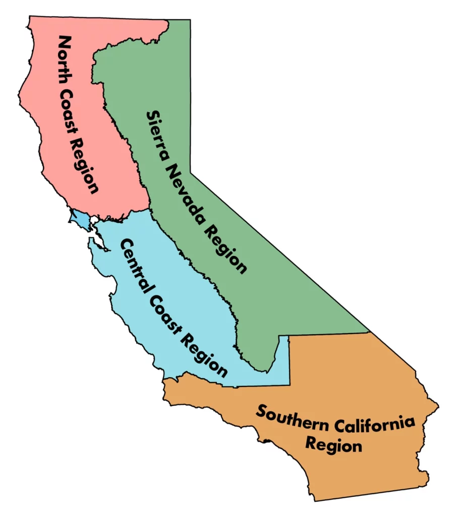
The Regional Profile series is a publicly available resource developed by the Task Force’s Science Advisory Panel. The profiles summarize the socio-ecological context of each region, highlight examples of current condition assessments from the associated Regional Resource Kit, and present findings from interviews and surveys about stakeholder priorities and concerns for community and ecosystem resilience.
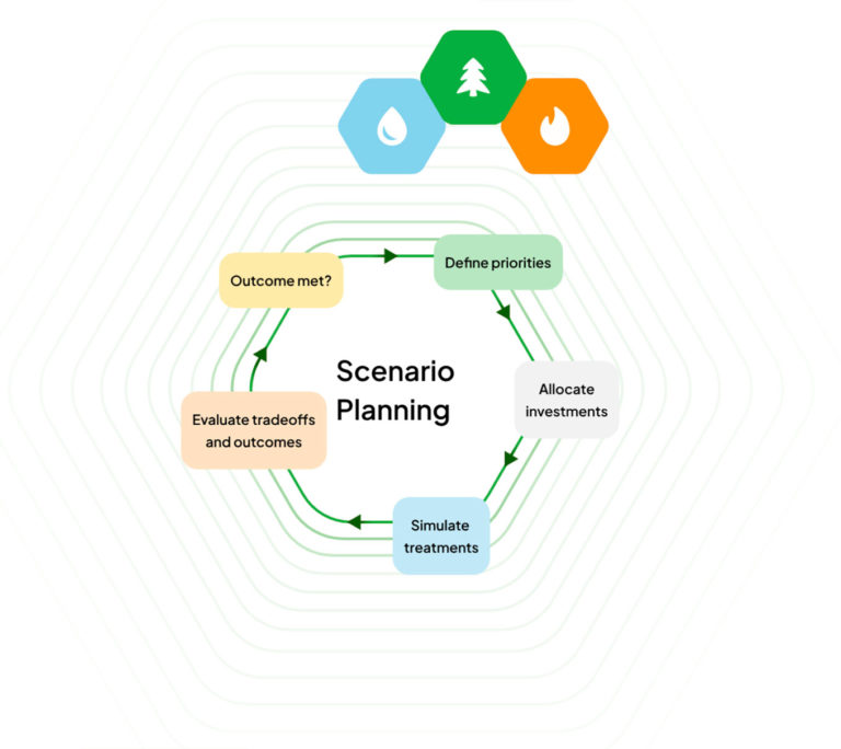
Planscape uses Forsys to help identify optimized projects. Forsys is built and maintained by the USDS Forest Service. ForSys is a flexible platform for exploring landscape management scenarios and optimizing decisions in terms of where and how to achieve landscape restoration and fuel management goals. The model is spatially explicit and uses multi-criteria prioritization and optimization created to rapidly design fuel treatment and restoration scenarios.
